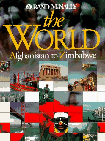

The world, Afghanistan to Zimbabwe /
Detalles de publicación: Cleveland, OH : Rand McNally , 1996.Descripción: 1 atlas (1 v. (various pagings)) col. ill., col. maps 39 cmTipo de contenido:- 0528837737
- Rand McNally the world, Afghanistan to Zimbabwe
| Imagen de cubierta | Tipo de ítem | Biblioteca actual | Biblioteca de origen | Colección | Ubicación en estantería | Signatura topográfica | Materiales especificados | Info Vol | URL | Copia número | Estado | Notas | Fecha de vencimiento | Código de barras | Reserva de ítems | Prioridad de la cola de reserva de ejemplar | Reservas para cursos | |
|---|---|---|---|---|---|---|---|---|---|---|---|---|---|---|---|---|---|---|
| Libro | Biblioteca de Mayagüez Sala de Referencia mb | G1021 .R4882 1996 (Navegar estantería(Abre debajo)) | Disponible | 50000001836880 |
Descripciones mejoradas de Syndetics:
"Leading off the atlas is a 24-page section entitled World Superlatives and Information Tables. Colorful and highly illustrated, it provides the geographic information people seek most often: the world's longest rivers, highest mountains, largest lakes, most-populous countries, and many more fascinating facts. Next comes The World, Continents, and Oceans, 16 pages of highly detailed, beautifully rendered political and portrait maps offering an overview of the world's geography, topography, and political divisions. The core of the atlas is the 208-page Gazetteer of the Countries of the World, in which all of the world's countries are presented in alphabetical order. Global Locator Maps establish the global setting of each country. Articles present concise, substantive descriptions of each country. Regional Locator Maps show the location of each country in relation to neighboring countries and major bodies of water. Reference Maps of individual countries present a wealth of geographic information, including: country boundaries; principal cities and towns; railroads; terrain elevations and depths; and major geographic features such as rivers, lakes, mountain ranges, and deserts. Size Comparison Maps show how each country compares in size to the United States. Population and GDP Comparison Bar Graphs compare the subject country's population and Gross Domestic Product to those of the U.S. Ethnic Group Pie Charts show the ethnic makeup of the subject country's populace. Urban/Rural Bar Graphs show how each subject country's population breaks down with regard to urban dwellers and rural dwellers. Full-color photographs offer beautiful and fascinating glimpses of the landscapes, cityscapes, and peoples of the world's countries."--BOOK JACKET.Title Summary field provided by Blackwell North America, Inc. All Rights Reserved
At head of title: Rand McNally.
Includes index.